
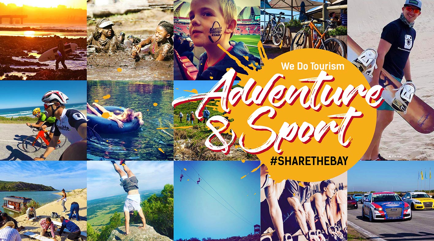

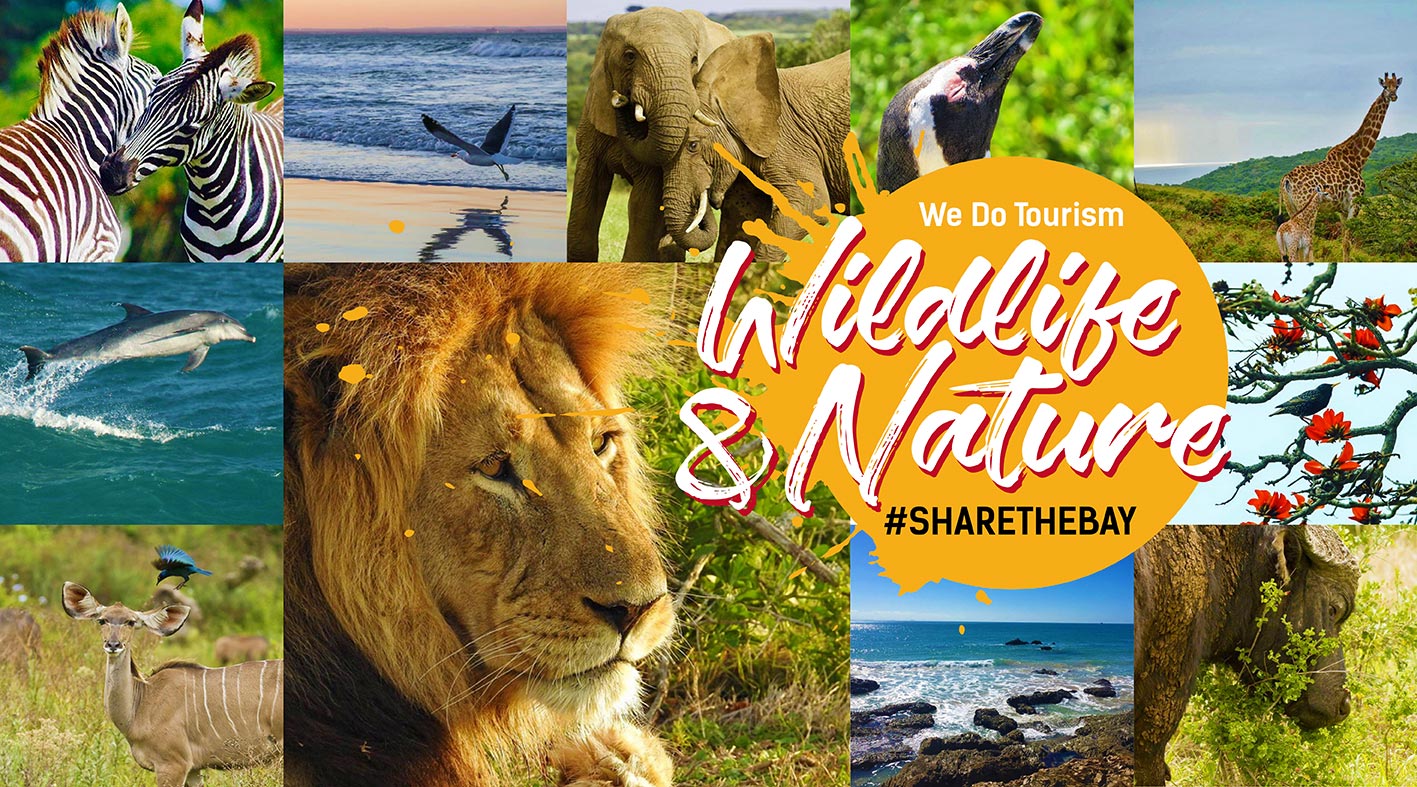

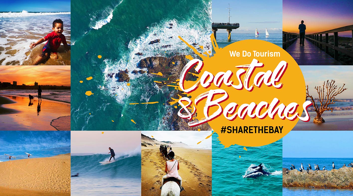
Searching Things to See and Do
Search Location : Gqeberha
Displaying result 11 - 15 of 15
East Cape Game Properties (Royalston Coastal Wildlife Estate)
Location : Eastern Cape > Gqeberha >
Nestled amongst rolling hills and open fields, Royalston Coastal Wildlife Estate is a 1000 hectare secured reserve in Port Elizabeth where families escape the commotion of the city and interact harmoniously with nature.
Coastal Fynbos Trail
Location : Eastern Cape > Gqeberha > Schoenmakerskop
HISTORY AND LOCATION
An inland route is followed through the coastal fynbos starting and returning to Sappershoek along the top of the ridge overlooking the sea. In 1962/3, “Sappershoek” was erected to house retired servicemen.
The area forms part of the Cape Floral Kingdom and is one...
Flamingo Trail
Location : Eastern Cape > Gqeberha > Zwartkops
The walk of 9 km (3-4 hours) starts at the MOTHERWELL STORMWATER CANAL in the ZWARTKOPS NATURE RESERVE on the northern bank of the ZWARTKOPS RIVER upstream of the brickfields. Access is via a dirt track along the river from the COROBRIK FACTORY adjacent to the BRAMLIN-MARKMAN HIGHWAY. Cars may...
Bushbuck Trail
Location : Eastern Cape > Gqeberha > Seaview
The Island Nature Reserve offers numerous walks, the most well known being the 16km Bushbuck Hiking Trail which starts just outside the Main Office of the Island Nature Reserve. The Bushbuck trail can also be fragmented into 5 different trails according to the distance they are covering.
Grootkloof Environmental Centre and Hiking Trail
Location : Eastern Cape > Gqeberha > Bethelsdorp
GROOTKLOOF HIKING TRAIL
TRAIL TYPE: CIRCULAR
DURATION: 1/2 HOUR
DIFFICULTY: EASY
RECOMMENDED HIKING TIMES: 08H00 - 16H30
The Grootkloof Reserve and Educational Centre is located in the suburb of Hillside. The Grootkloof reserve opened in 2015 and is seen as a gateway to Van der Kemp's...


 Please wait!